Project Presentations, Presentations, 3D Visualisations, Architecture, 3D Animations
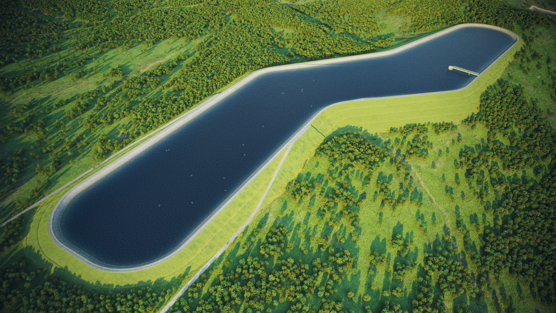
3D animation of a pumped storage power plant PGE
The scale, location and operation of the Młoty power plant in an accessible 3D animation.
3D Animation and 3D Visualization of the Młoty Pumped-Storage Power Plant
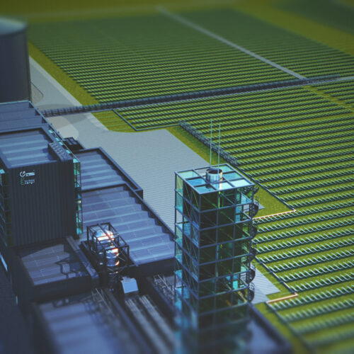
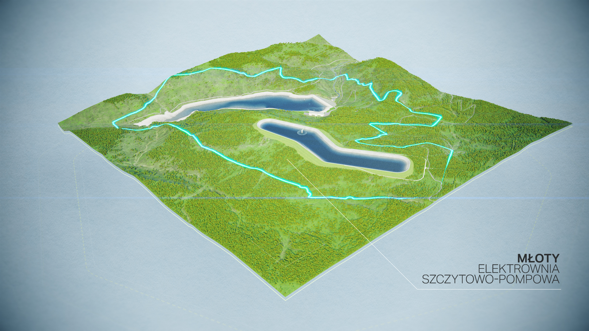
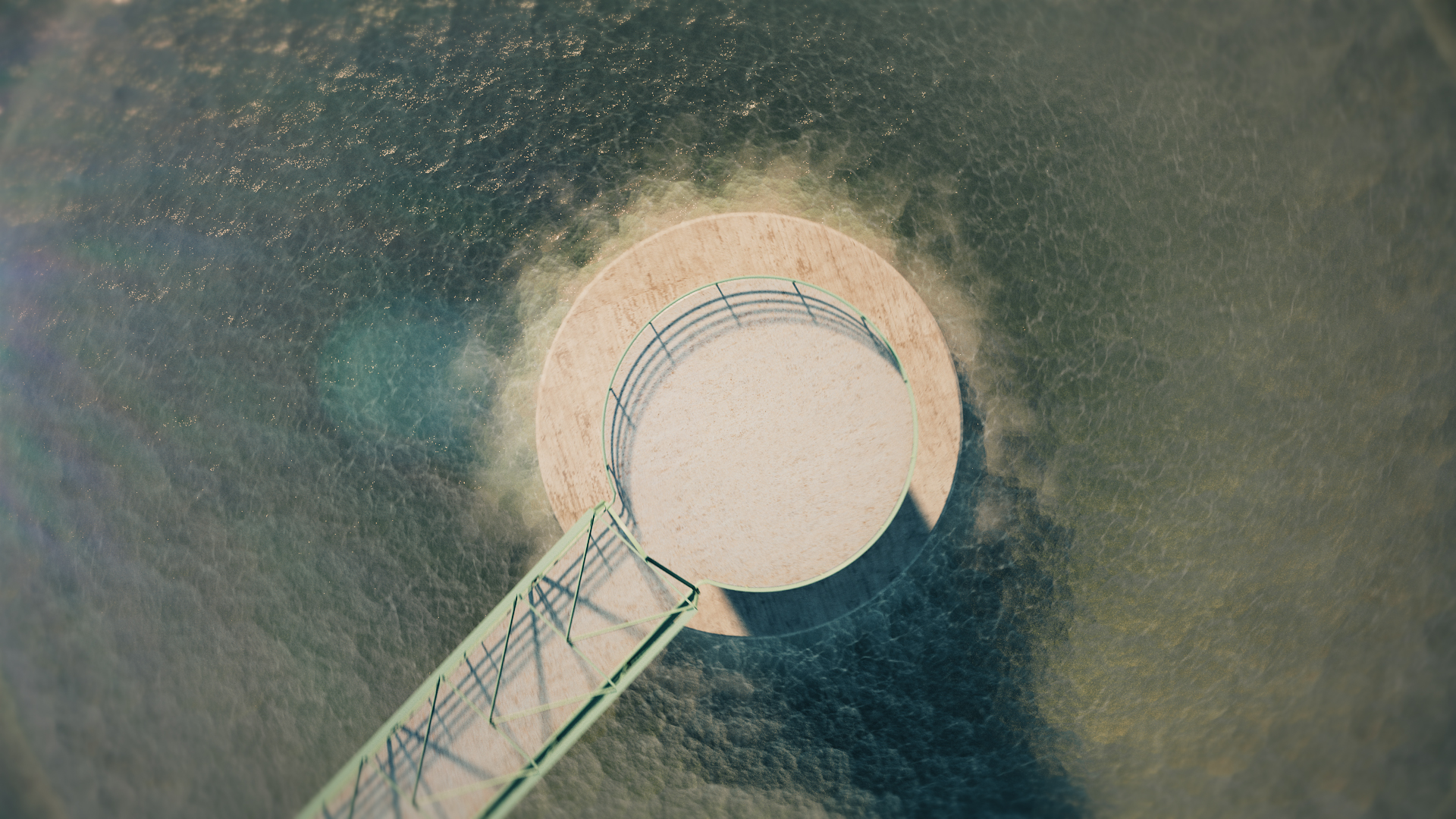
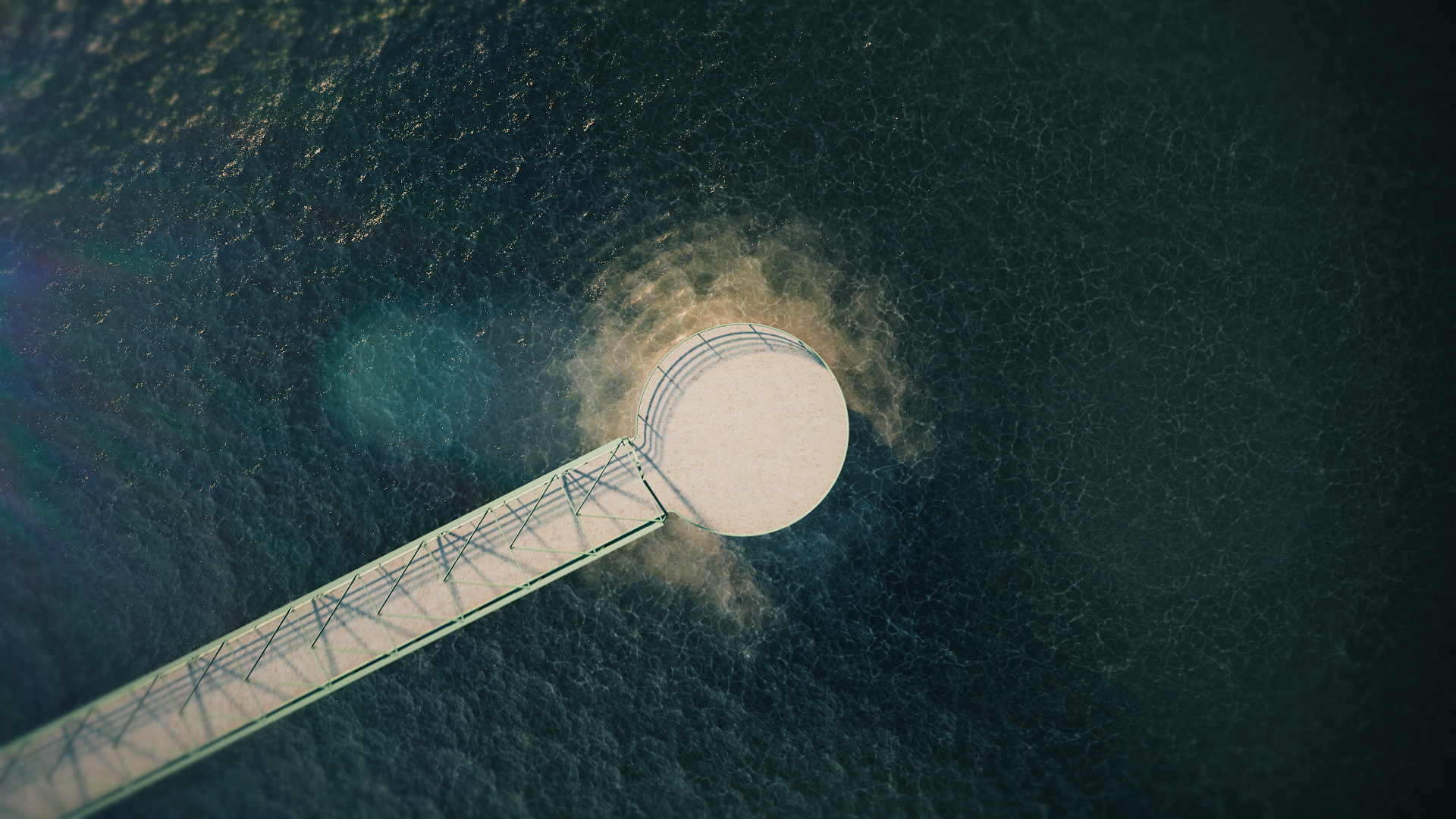
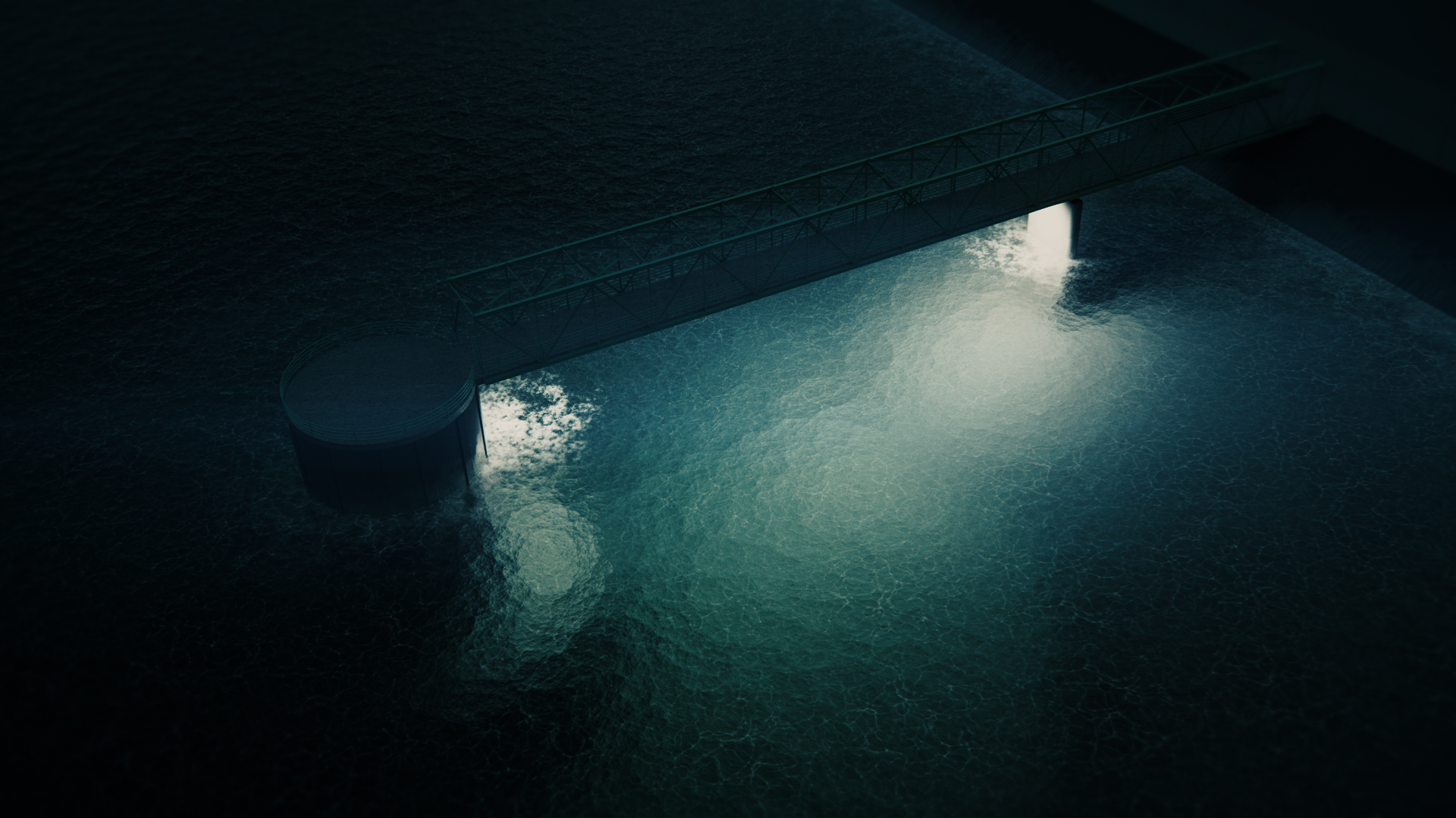
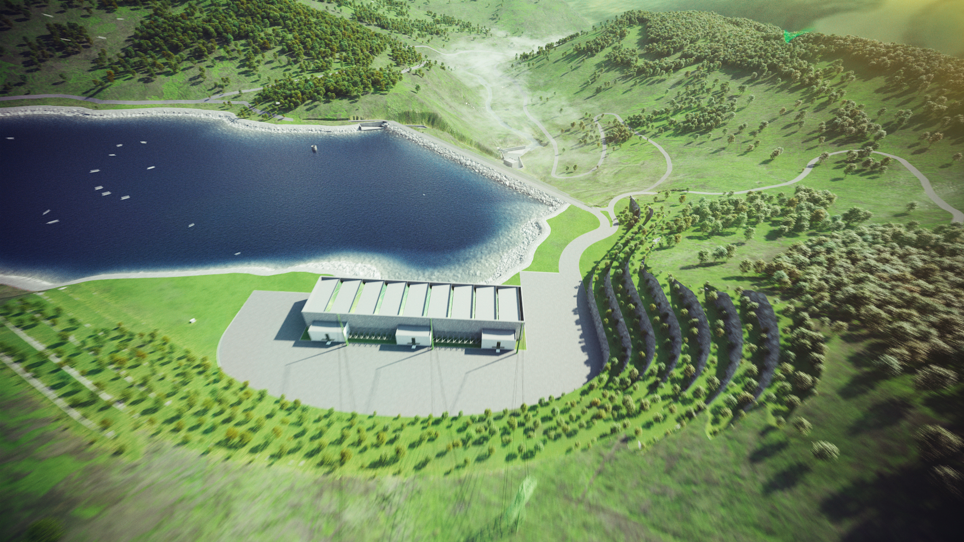
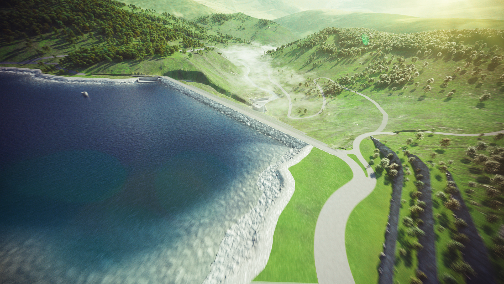
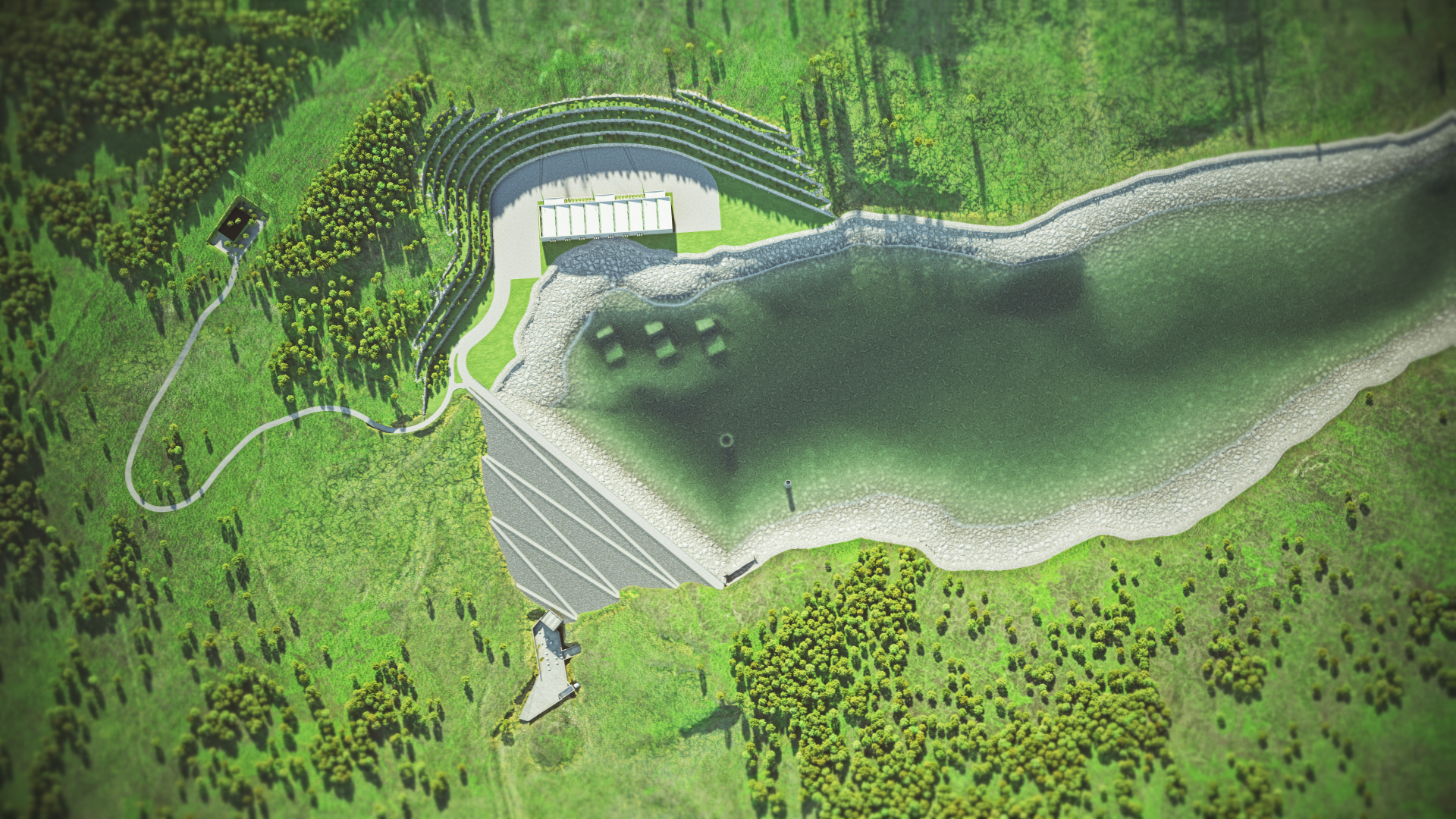
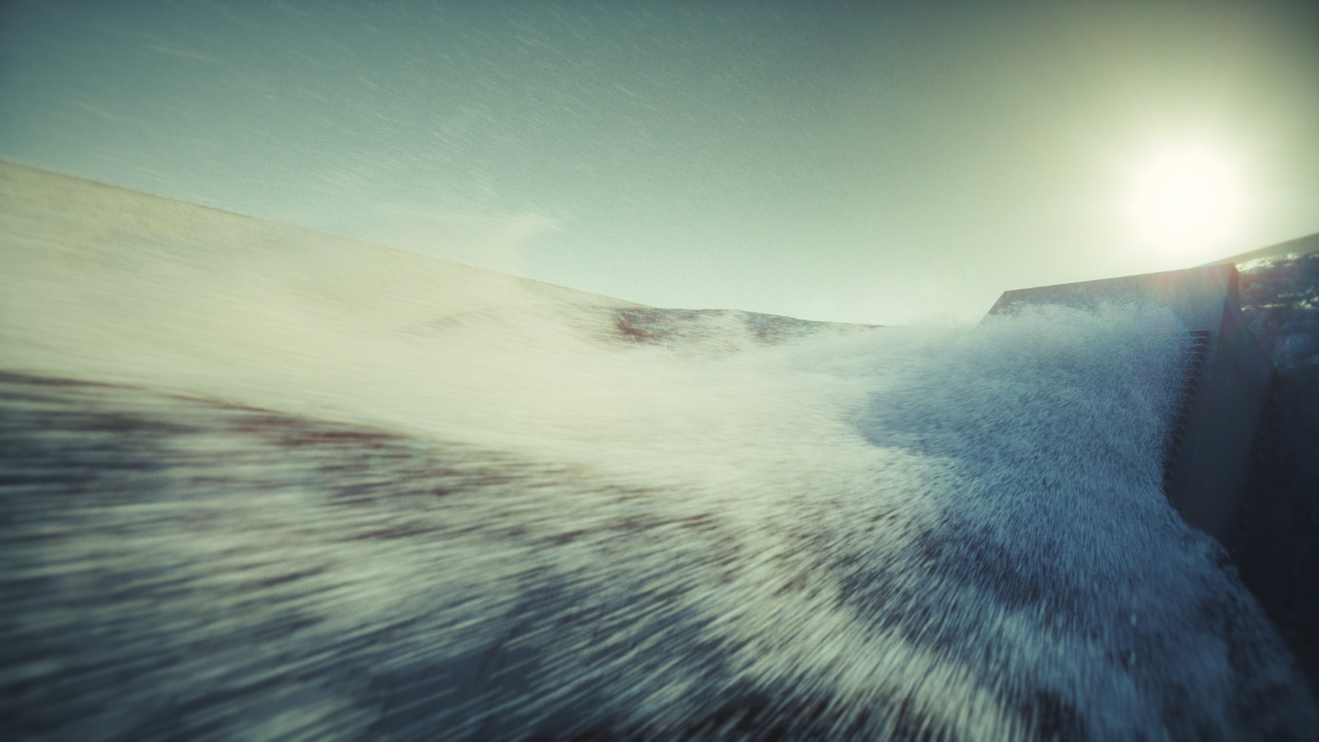
The objective of this project was to clearly present the scale of the investment, its location, and the significance of the project within the national energy system.
Modelowanie terenu
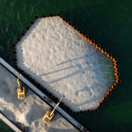
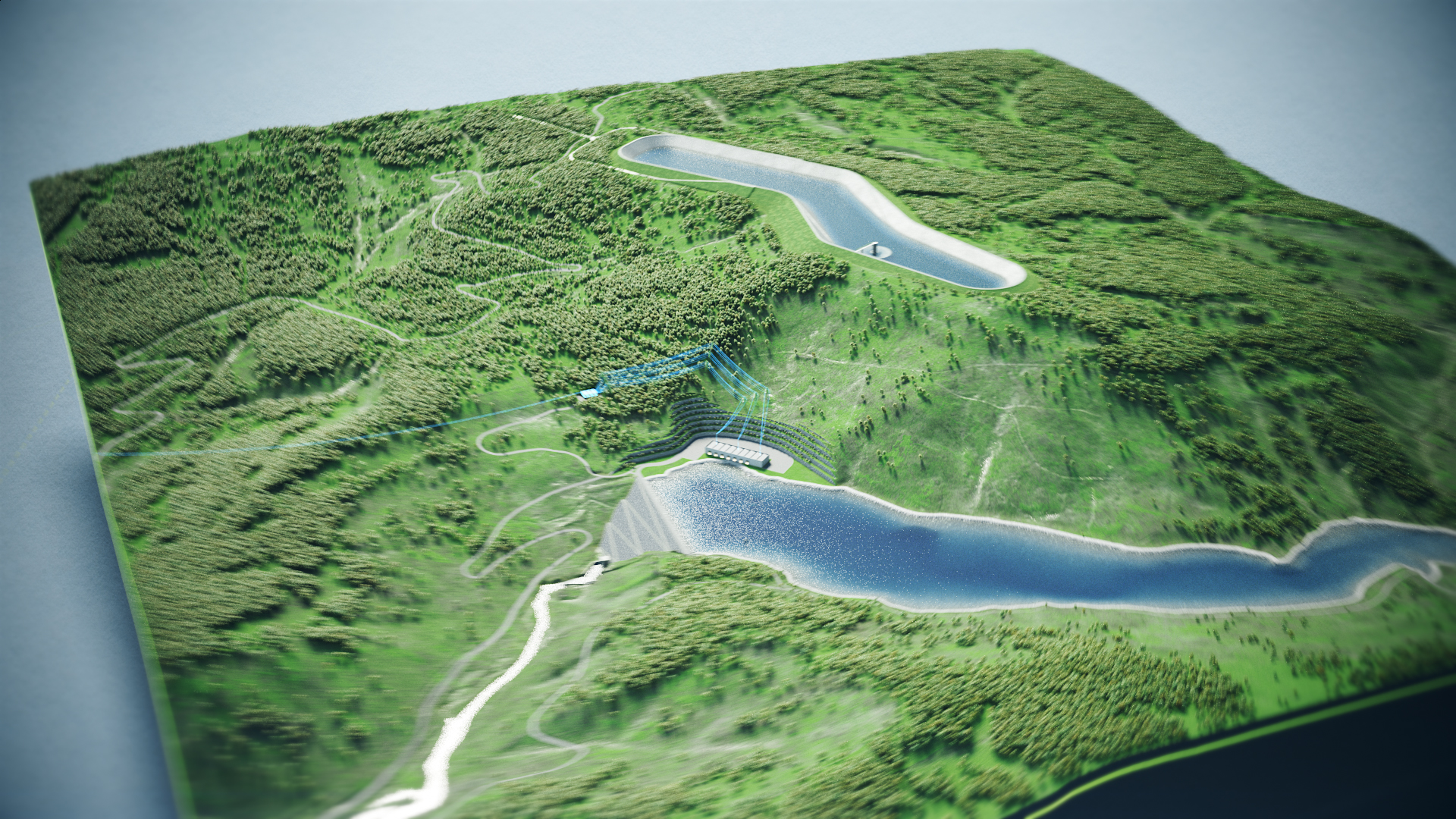
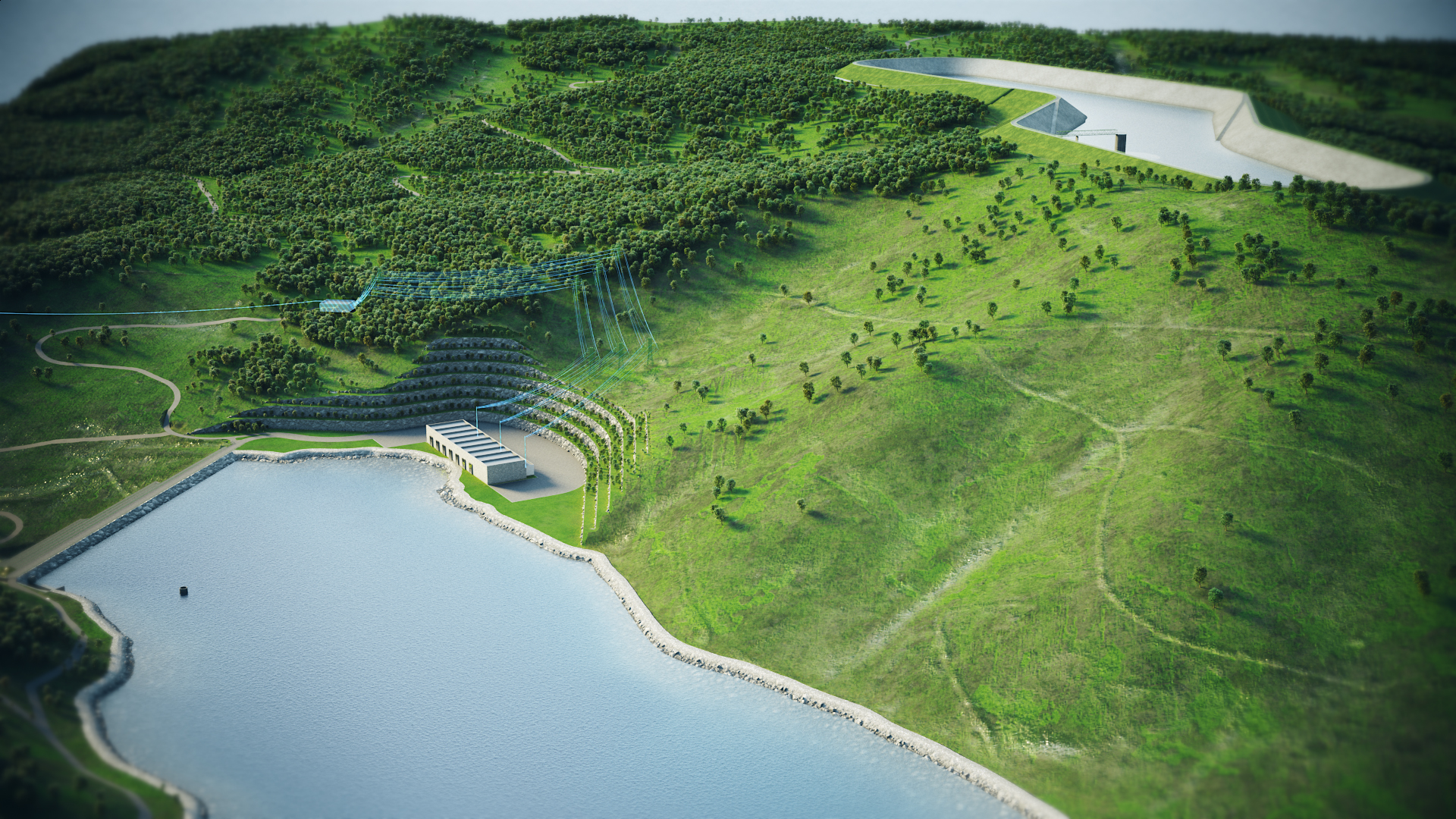
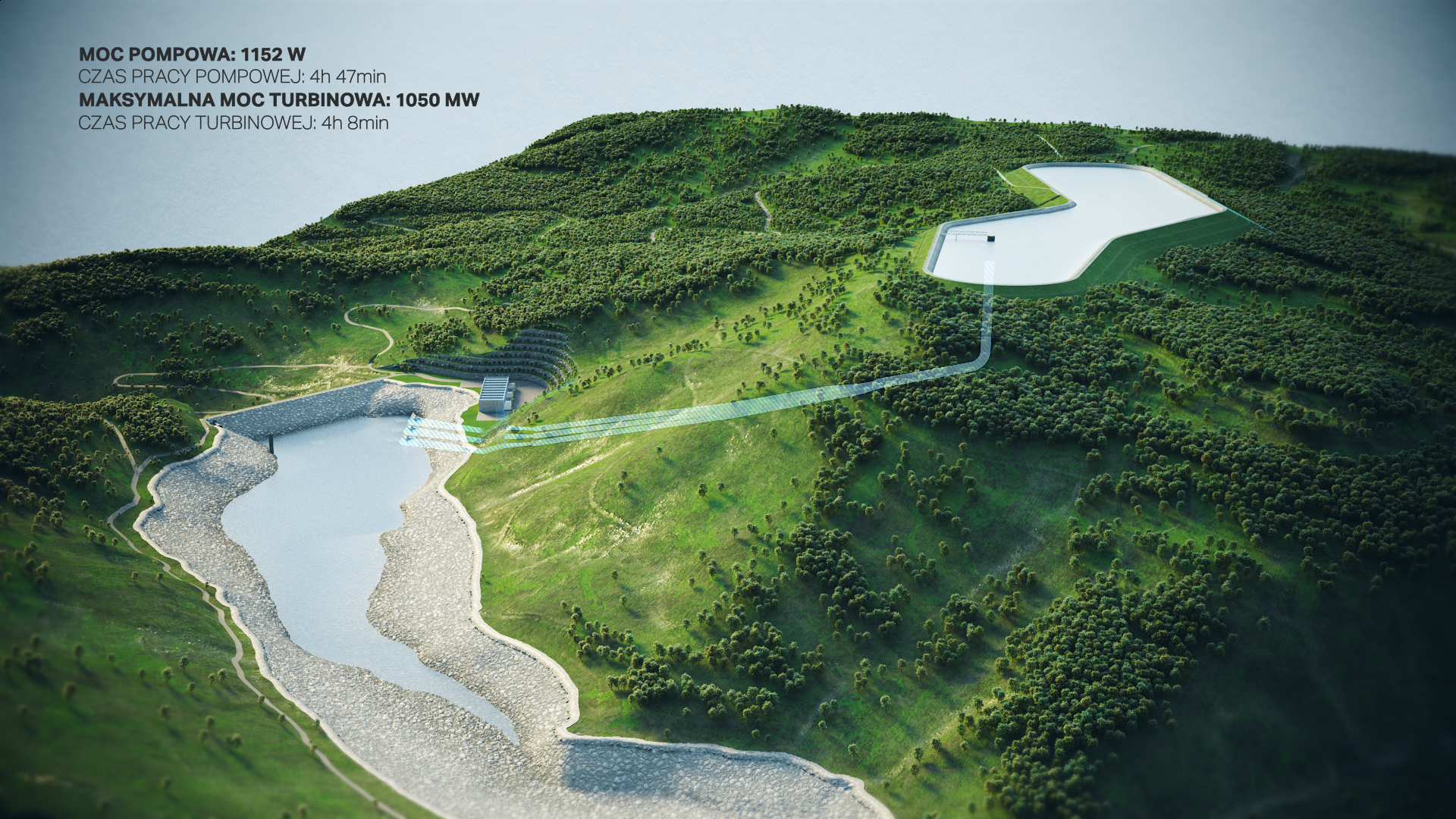
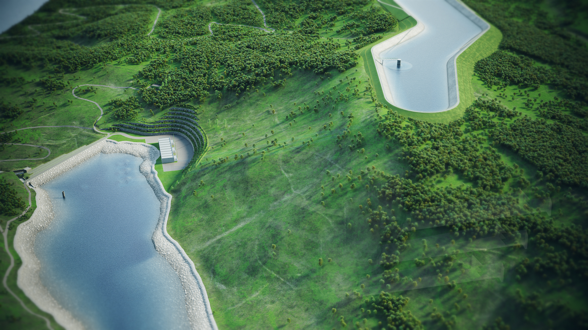
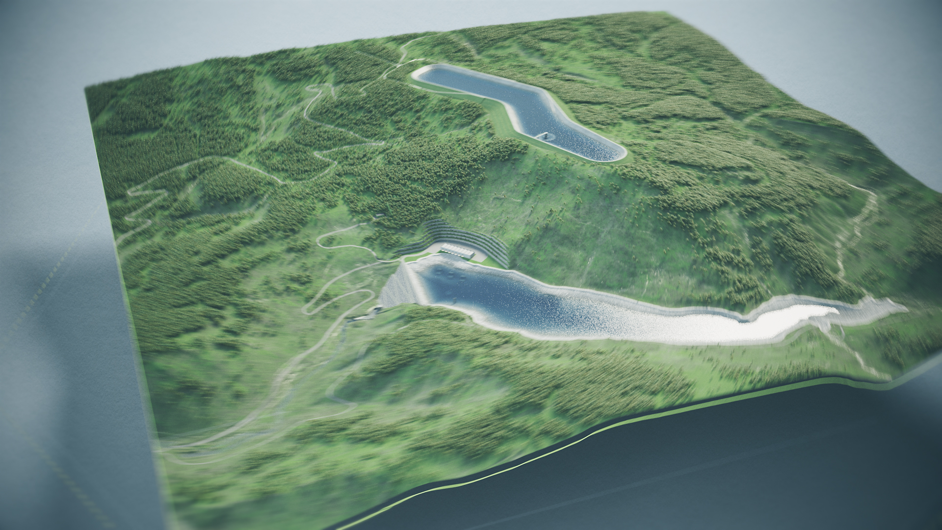
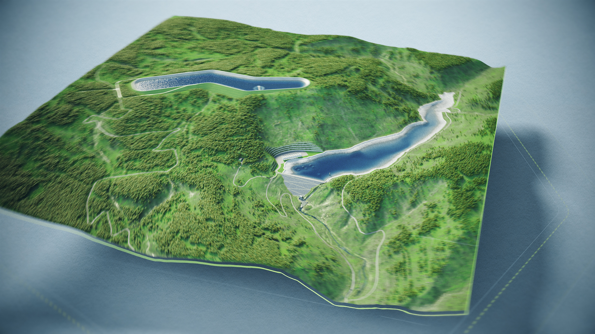
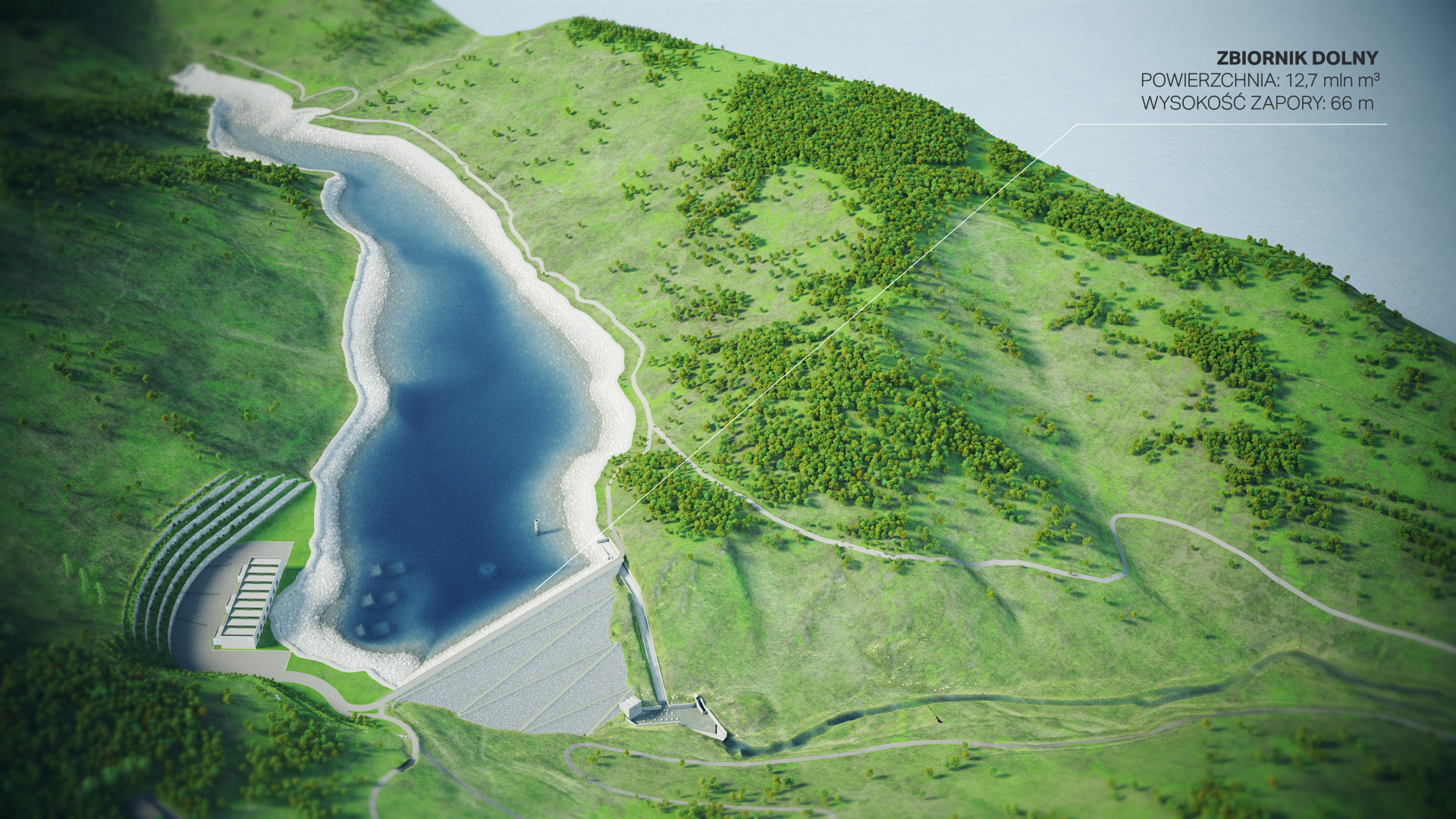
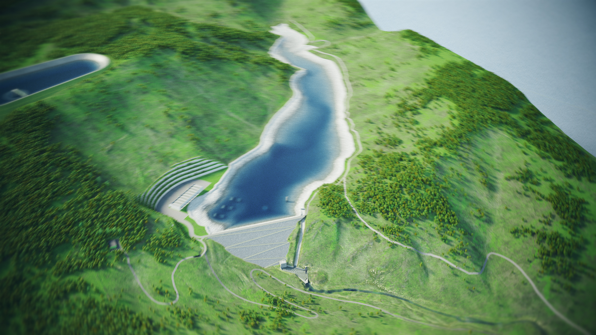
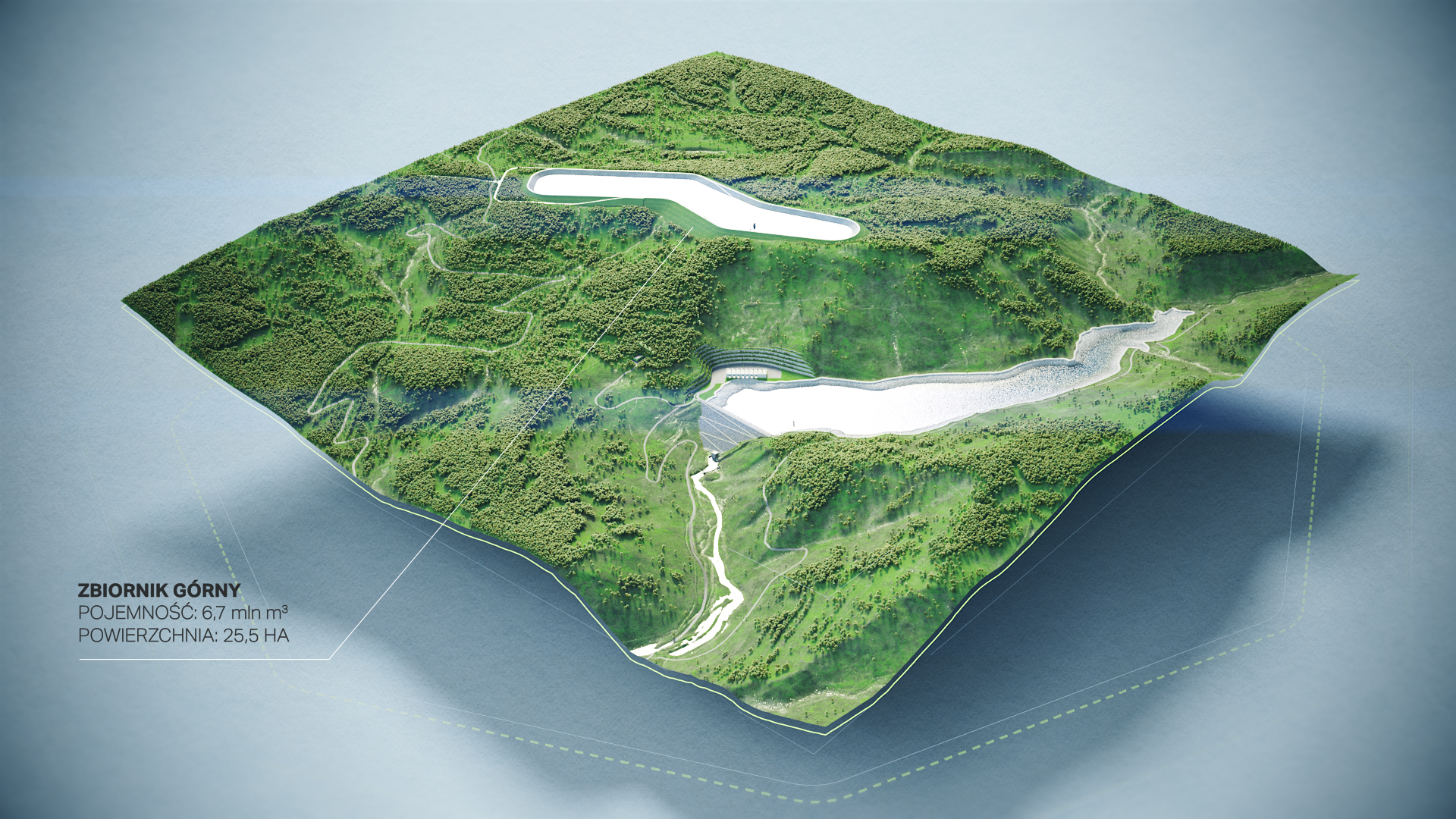
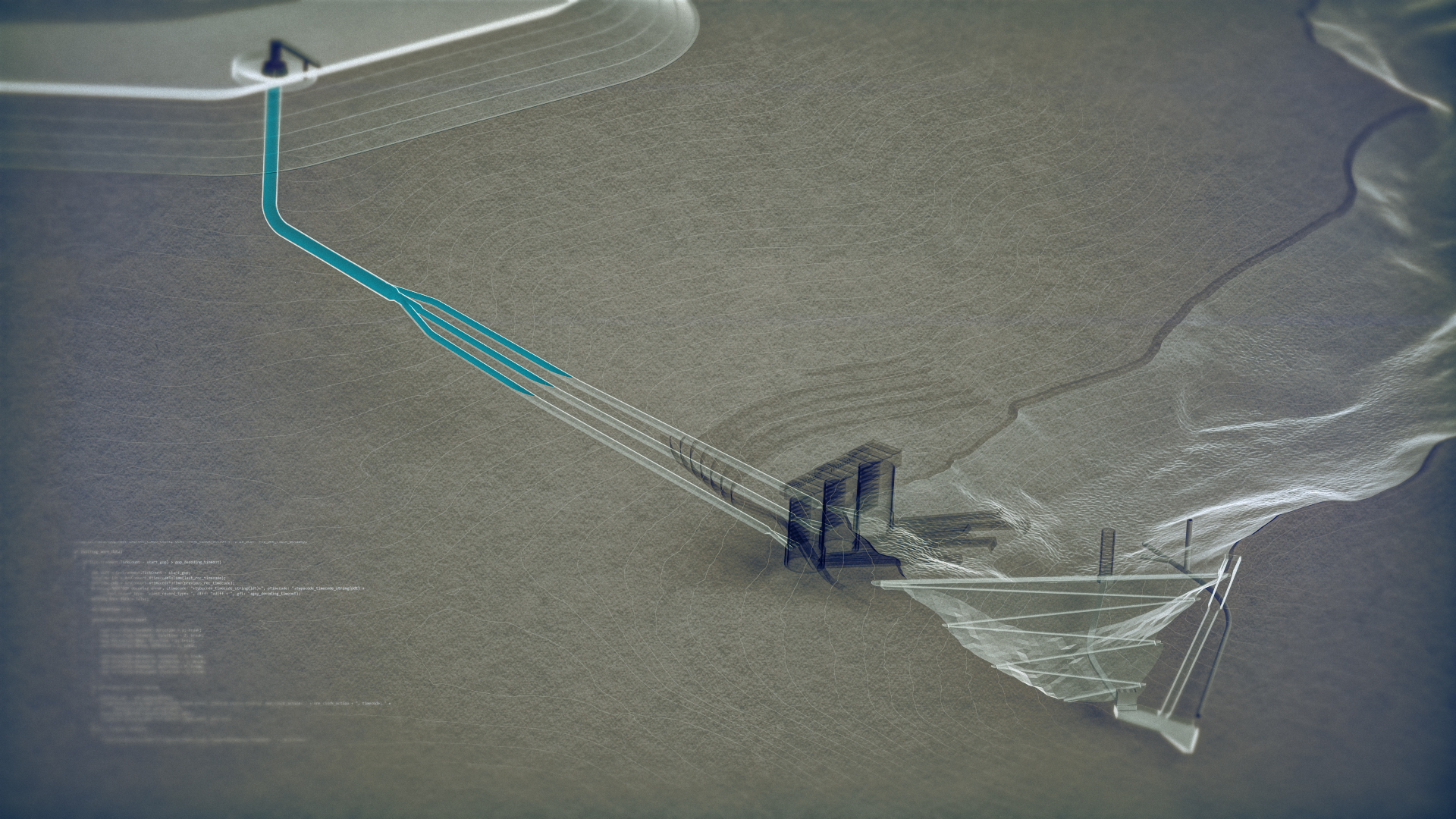
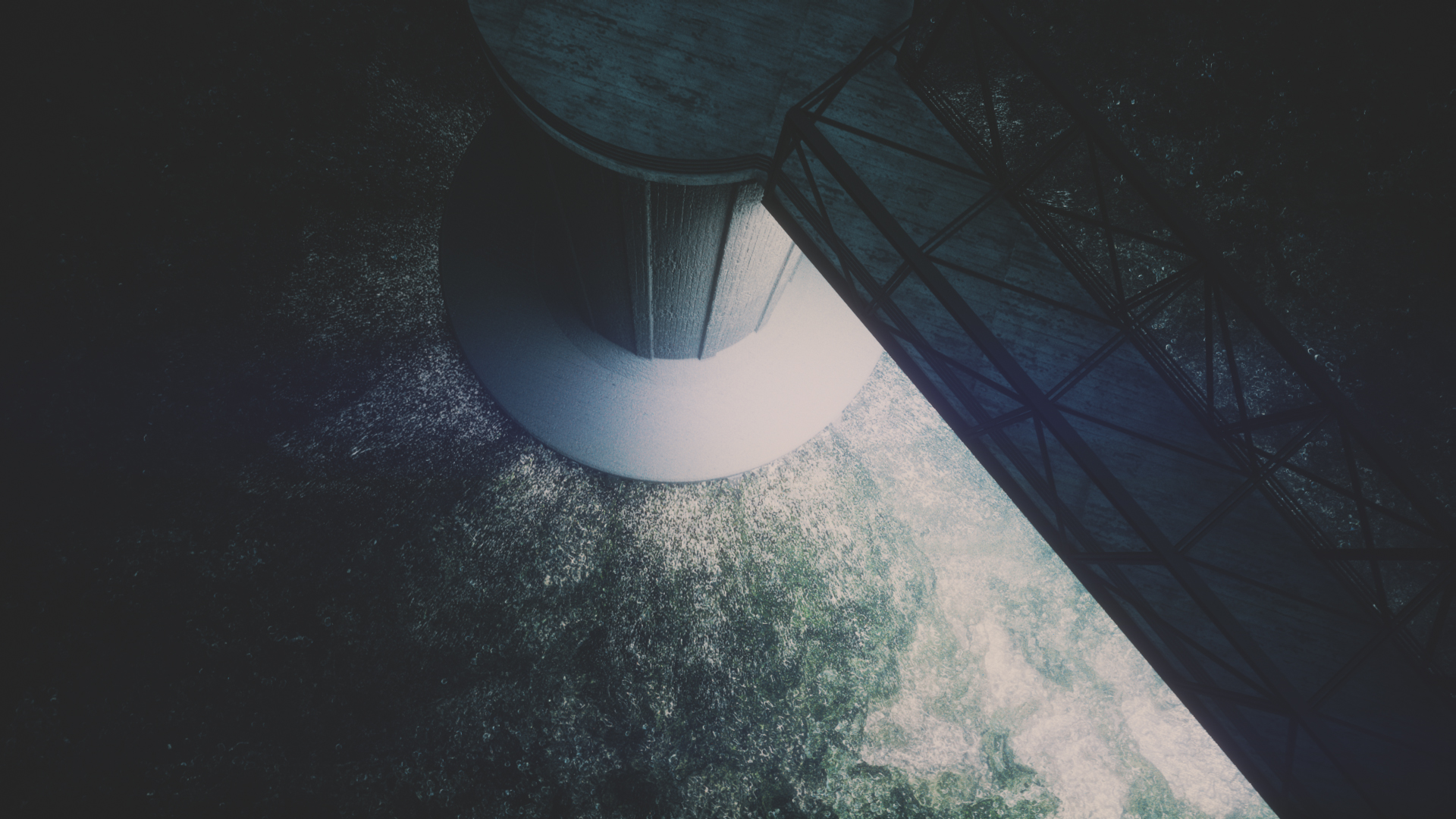
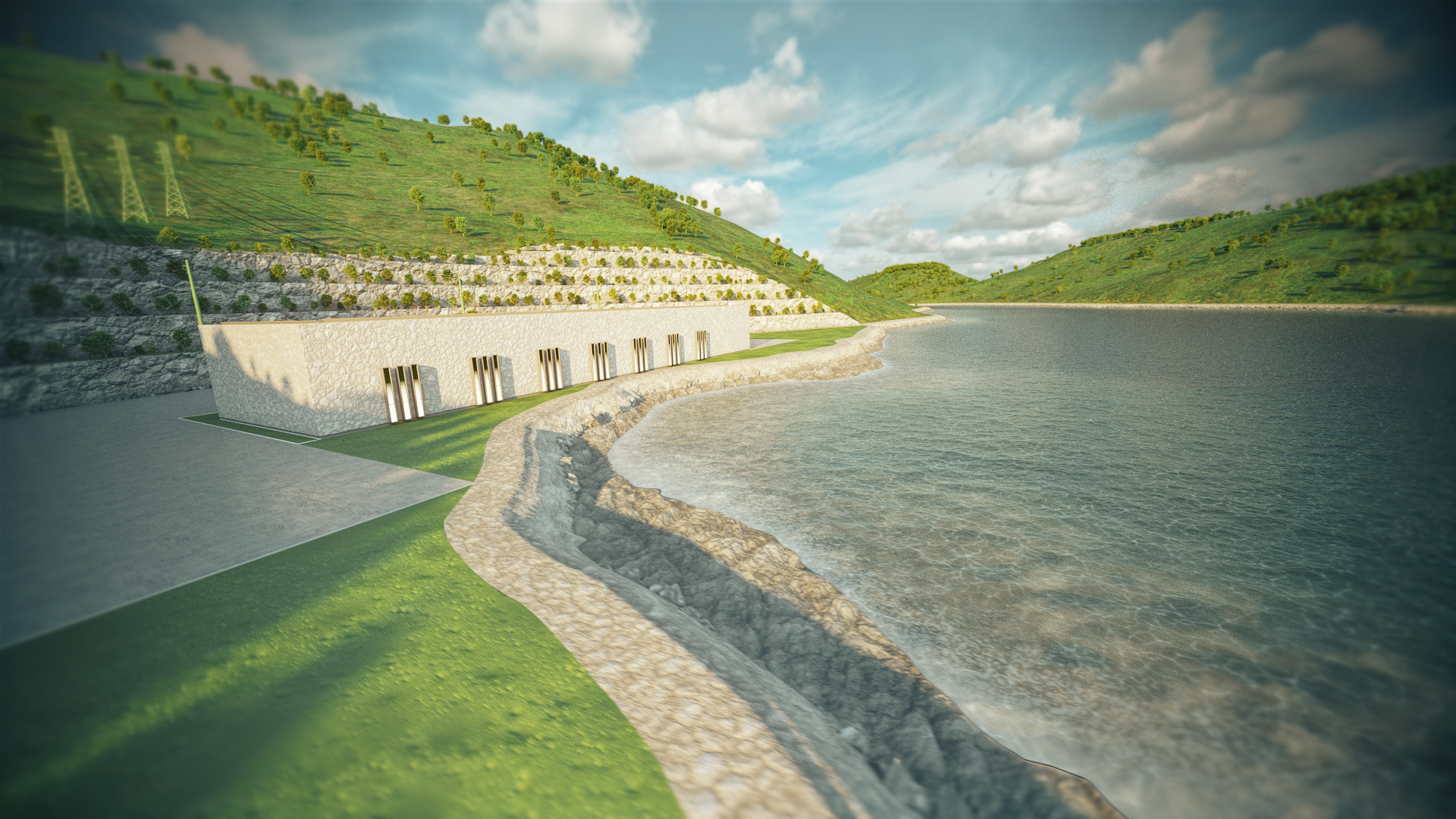
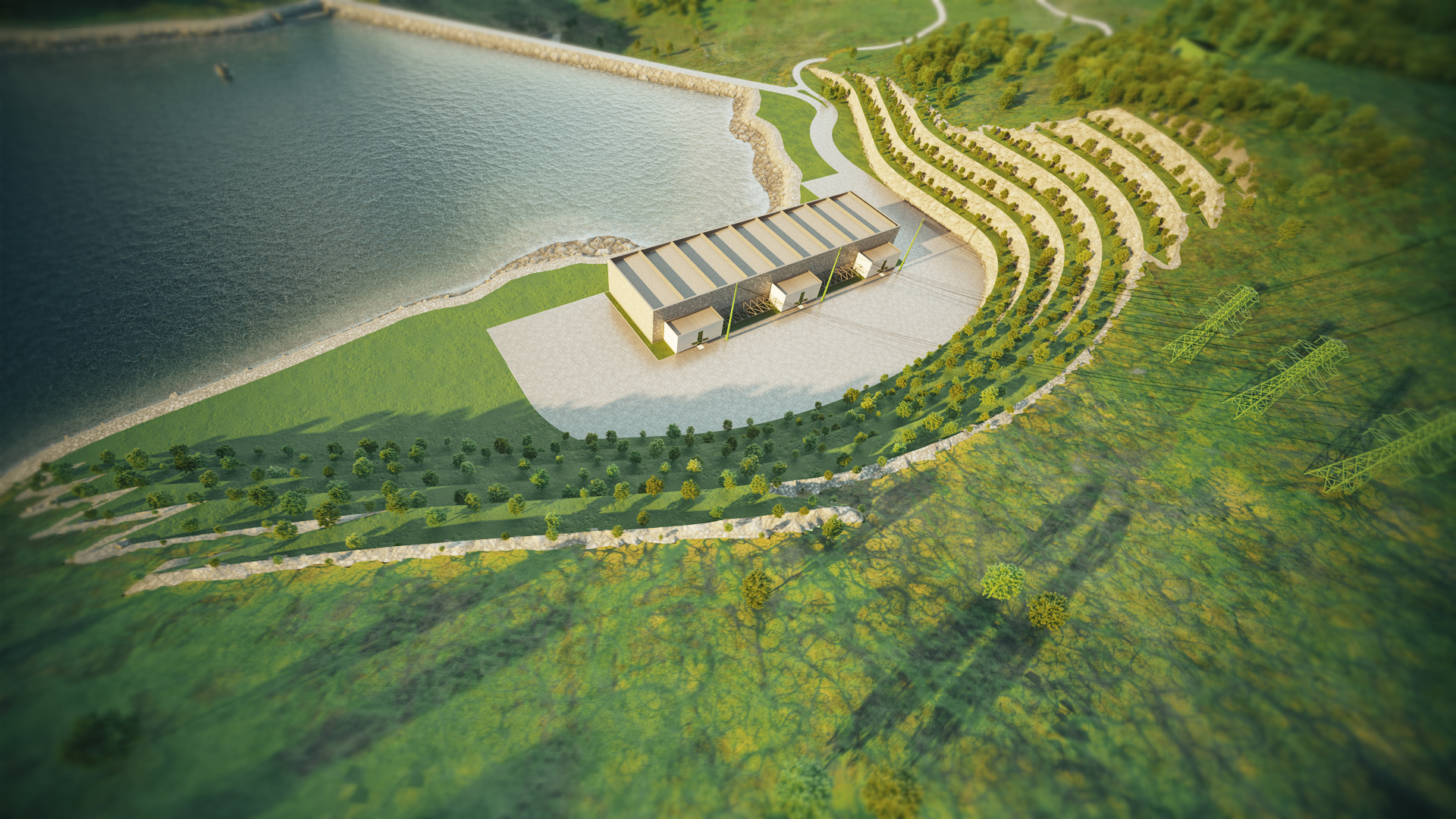
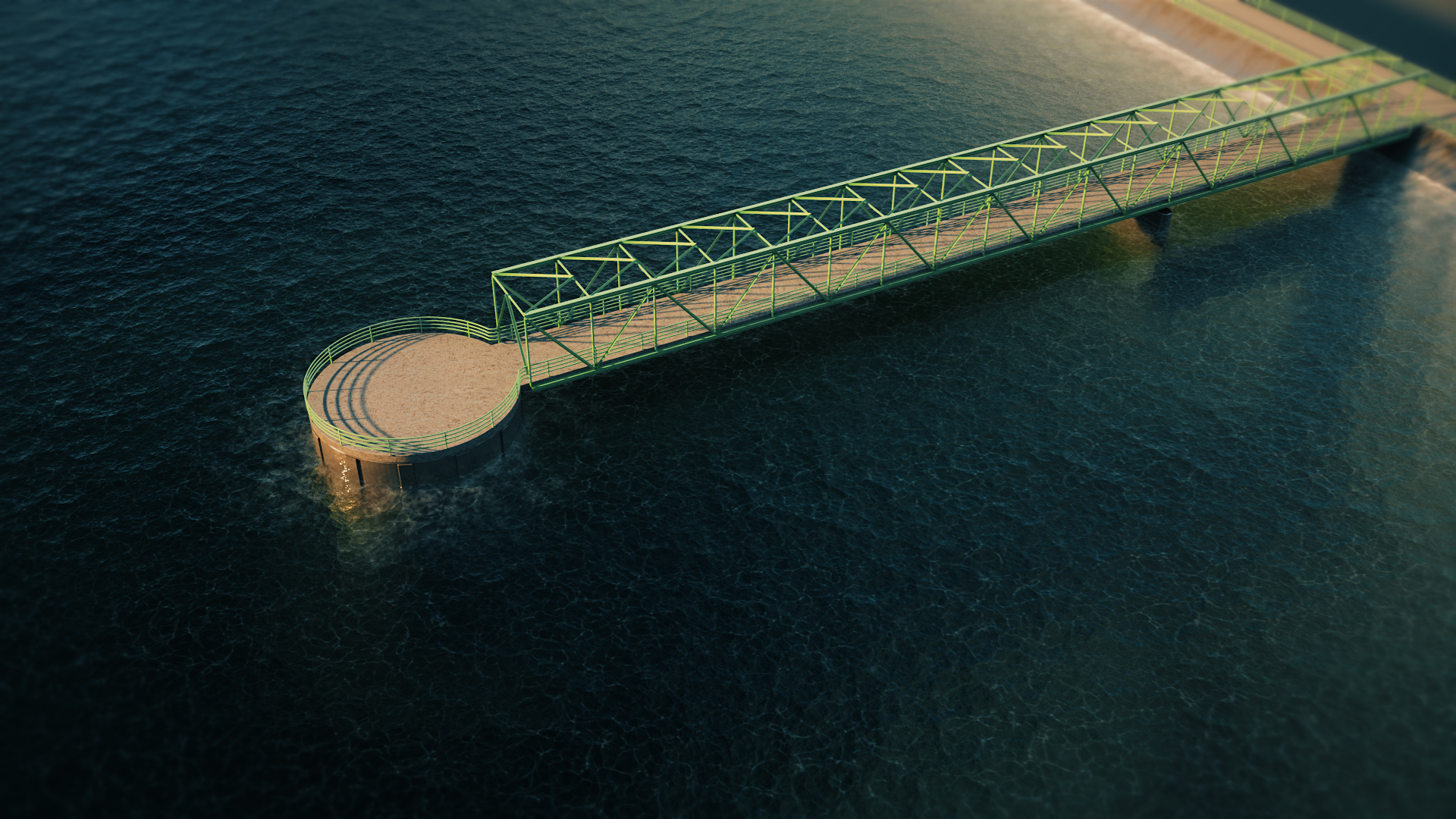
Modele terenu opracowaliśmy w oparciu o precyzyjne dane topograficzne 3D, które zostały zmodyfikowane na potrzeby planowanej infrastruktury hydrotechnicznej. Pozwoliło to realistycznie odwzorować ukształtowanie terenu, relacje przestrzenne oraz sposób, w jaki inwestycja wpisuje się w istniejący krajobraz regionu Młotów.
Zasada działania elektrowni szczytowo-pompowej
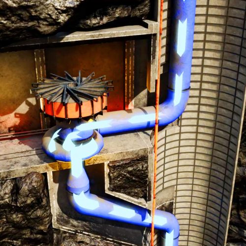
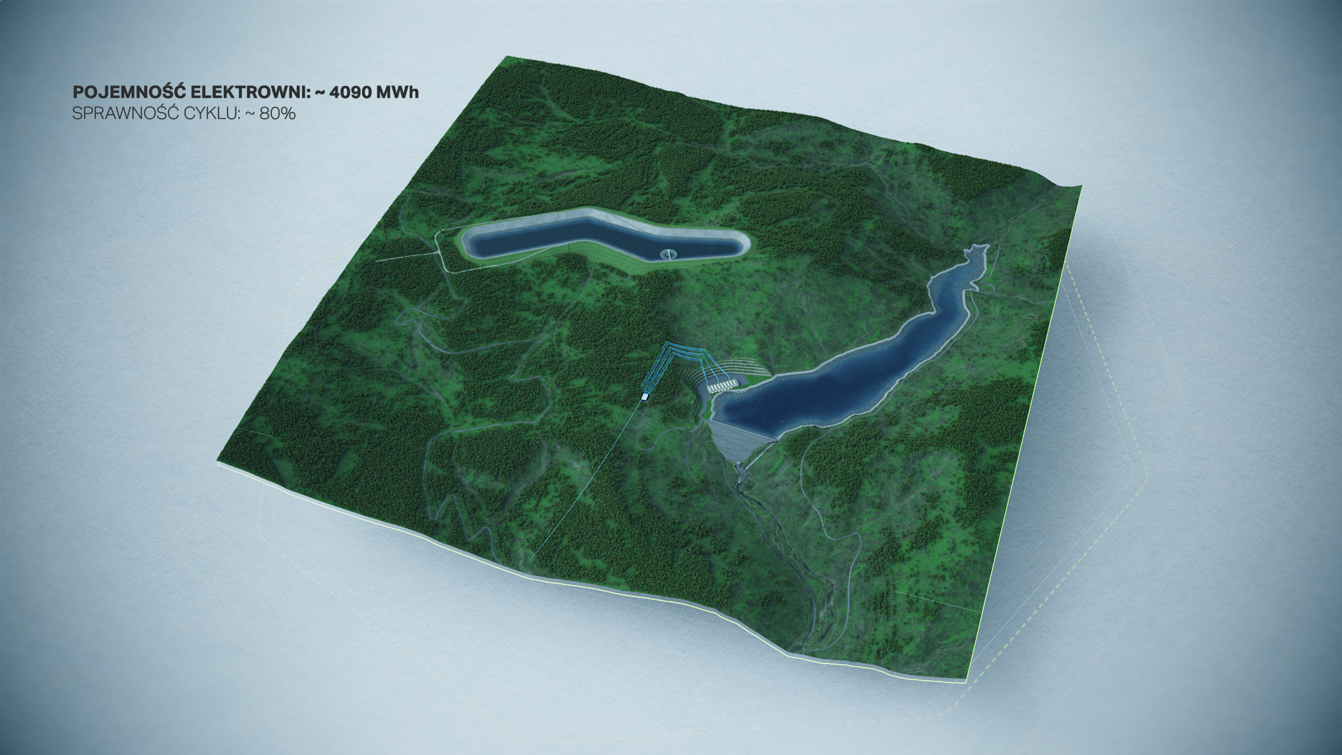
W animacji przedstawiliśmy zasadę działania elektrowni szczytowo-pompowej jako magazynu energii, obejmującą zbiornik górny i dolny oraz procesy zachodzące pomiędzy nimi. Materiał w przystępny sposób wyjaśnia mechanizm pozyskiwania, magazynowania oraz ponownego wykorzystania energii elektrycznej w momentach zwiększonego zapotrzebowania.
Benefits of Delivering a 3D Animation
By delivering the 3D animation, the client received a versatile and flexible communication tool that enables a clear presentation of a complex energy investment to various target audiences. The animation allows the scale of the project, its location, and its operating principles to be explained in a short time, without the need for extensive technical documentation.
The 3D material streamlined the decision-making process at the conceptual stage, supporting presentations for management boards, public institutions, and project partners. Realistic representation of the terrain and infrastructure reduced the risk of misinterpretation and increased the transparency of investment communication.
An additional benefit was the creation of a visually consistent form of communication that can be used across multiple channels — from strategic presentations and websites to informational, educational, and community-focused communication activities.





FAQ – 3D Animation in the Presentation of Infrastructure and Energy Investments
What investment does this 3D animation for PGE present?
The animation presents the Młoty Pumped Storage Power Plant — a PGE investment combining an energy storage function with hydrotechnical infrastructure. The material shows the scale, location, and operating principle of the facility within the national energy system.
How does the pumped-storage power plant shown in the animation work?
The animation presents the plant as an energy storage system made up of an upper and a lower reservoir. During periods of low demand, water is pumped up to the upper reservoir, and during periods of increased demand, it is released back down, driving turbines and generating electricity.
How was the terrain and landscape around the Młoty investment represented?
We developed the terrain models based on precise 3D topographic data, modified to reflect the planned hydrotechnical infrastructure. This allowed the animation to realistically show how the investment fits into the actual landscape of the Młoty region.
At what project stage did PGE decide to commission a 3D animation?
The animation was created at the concept and design stage, before full execution documentation existed — based on concept materials and topographic data. This made it possible to support the decision-making process before the project reached its final form.
What does PGE use this 3D animation for?
The material supports presentations for the board and public institutions, public consultations with the local community, and communication about the investment across informational and educational channels — serving as a consistent, versatile format for presenting a major energy investment.
How does 3D animation help with public consultations for a large infrastructure investment?
A realistic representation of the terrain and infrastructure lets residents see exactly how the investment fits into the existing landscape, which reduces misunderstandings and increases transparency in the investment process.
How much does a 3D animation of a major energy investment like a pumped-storage power plant cost?
The price depends on the scale of terrain to be modeled, the complexity of the infrastructure, and the number of shots or presentation variants. We publish a detailed price list and calculation examples in the article How Much Does 3D Visualization and Animation Cost?
If you want to learn more about the process of creating 3D materials, check out these articles:
· What Are .STEP Files and How Do We Use Design Data in 3D Animations?
· Technical and Instructional 3D Animations
· 3D Animations in Advertising
Contact us to learn more!